Services
Topographical Surveys
Measured Building Surveys
Topographical Surveys

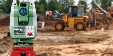
Topographical Surveys are used
to produce accurate and detailed drawings, identifying both the natural and man-made
features within a defined boundary. This can be presented in many formats, and in
two to three-dimensional digital models.
Engineering Services
Measured Building Surveys
Topographical Surveys

Engineering Services are a vital component of construction, including setting out dimensional information, checking quality assurance of the build against the design, and or for recording as-built information.
Measured Building Surveys
Measured Building Surveys
Lease Plan & Boundary Surveys

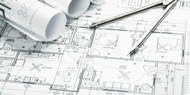
Measured Building Surveys (MBS) are a collection of measured data to enable the production of plans, elevations or sectional drawings of a building. Measured data can be delivered in two or three dimensional models.
Lease Plan & Boundary Surveys
Lease Plan & Boundary Surveys
Lease Plan & Boundary Surveys

Boundary surveys locate and establish the lines and corners of a parcel of land as legally described in a deed or document of record. Lease plan surveys provide an accurate drawing of the floor plan of a tenant leased space or facility. It defines the limits of the leased premises and serves as the blueprint for the tenant to design their newly rented space.
3D Modelling & Visualisation
Lease Plan & Boundary Surveys
3D Modelling & Visualisation

Whether it's a new build, refurbishment, interior design or landscaping, 3d modelling brings the new environment to life so clients/ end users can more easily visualise the end product. This can be used for a entire development, individual property, outside space or a single room.
Utility Surveys
Lease Plan & Boundary Surveys
3D Modelling & Visualisation

Utility Surveys are a vital component of any construction site in understanding where existing services are located. The data can be provided in two or three dimensional models and incorporated into topographical information.
Structural Steel & Architectural Metalwork
Structural Steel & Architectural Metalwork
Structural Steel & Architectural Metalwork

Supply & installation of structural steel and architectural metalwork.
Plenitus Construction Services Limited
Registered Address: 3 Church Street, Odiham, Hook, RG29 1LU, United Kingdom
Office: 01256 960414 Mobile: 0796 986 1688
Copyright © 2020 Plenitus Construction Services Limited - All Rights Reserved.